TrackVue S Series
Asset Management and Risk Assessment Surveys
S series uses imaging sensors including colour high resolution cameras, LIDAR and inertial sensors, and track geometry information to perform a complete 3D track survey for Asset Management & Condition monitoring. System outputs include:
- A complete asset registry including Civil Structures (bridges, platforms, tunnels), Electrical components (cabinets, cables, poles), Signalling components (magnets, axle counters, signals) and Track components (switch components, HABD, greasers etc.)
- Tunnel measurements with laser profiles, defects (deviations from thresholds after correcting for geometry), thermal and surface defects
- Vegetation maps, showing the type and dimensions of vegetation growth, vegetation density, its clearance to important areas such as overhead lines
- Signal sighting distance based evaluation, risk assessment for each signal taking into account line speeds, curvature, time to braking and vegetation growth along with visibility in different weather conditions
- Animation models may be created based on S series surveys
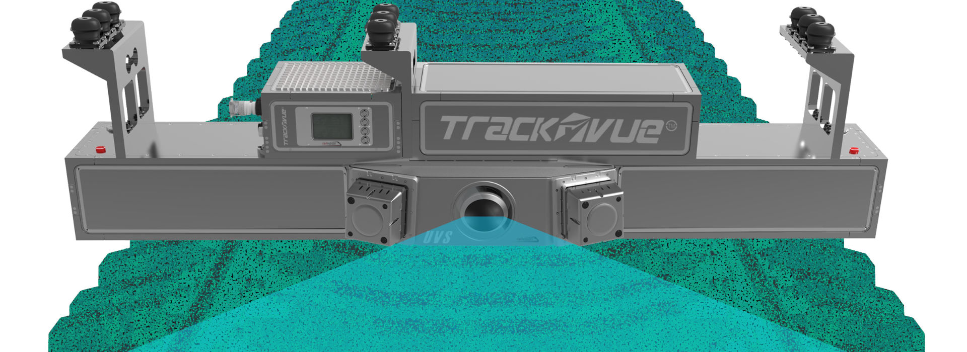
TrackVue S series system is designed to perform comprehensive track surveys for identifying assets and their determine their condition using AI based analytics of colour camera, laser profile and LIDAR data. The data generates an asset register with position and condition, and provides further raw data on which other measurements such as sighting distances and vegetation infringement can be calculated. The equipment is mounted front or rear of the inspection vehicle and has the following characteristics.
- Colour areascan camera options, resolutions of 8Mps and above
- Sampling rates between 25 fps to 120 fps
- Inertial sensors of tactical grade
- Raw image size (typical) 3328 x 2502 pixels (24 Mb)
- Front and side camera views
- Dynamic exposure adjustment to image in variable weather conditions
- LIDAR: Time of flight, class 1
- LIDAR range 120 meter, rotation speed 200KHz
- LIDAR data acquisition rate 2 million data points /sec
- IP67 or higher rated; 1 Gb Ethernet interface
- Operational Voltage: 24VDC
- Typical power consumption 2kW
- 48Tb+ on-board storage
- Dedicated management software
- 24/7 all-weather all-time operation
- Remote operation possible
- On-board real-time data analysis for critical issues
- Offboard data re-processing available
- Sub-ambient liquid cooled for high performance in hot countries
- Full data management services including option to use cloud interface
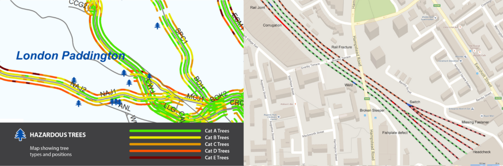
The output of the S series can be easily plotted on GIS maps shown below. The left picture shows the position of vegetation and identifies specific risk areas where trees are dangerously close to track and large in size. On the right hand side, the position of various track assets is plotted. RV Cloud tools provide detailed GIS treatment of analysed data and a birds eye view of track, its assets and their condition.